Maps - physical and political
Pic above:
Maps
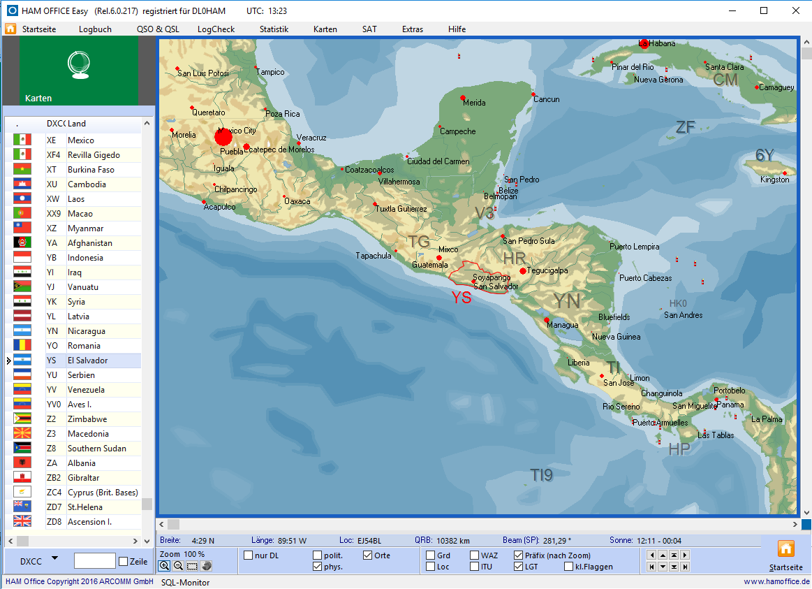
in the main menu - physical view
The maps are already accessible from the main menu. The list on the left shows DXCC countries and regions. After double-clicking on an entry, the map is updated. In the lower part of the map there are many options for customizing the map.
The world atlas can also be called up while entering the QSO. The location of the QSO partner is displayed in detail.
Pic above:
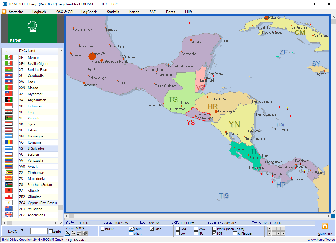
Maps in the main menu - political view
The colors can be set using the switch that is visible here in red. Several color palettes are available.


